From New Amsterdam to NYC
Lower Manhattan has changed a lot since the days when it was known as New Amsterdam. But it’s still possible to walk the same streets the Dutch walked in the 1600s.
At left is a view of the Stadt Huys, or City Hall, which was located on Pearl Street just opposite Coenties Slip. The photograph on the right shows the same site today. Yellow bricks inlaid in the sidewalk trace the outline of where the original walls of the Stadt Huys sat. This section of Pearl Street was then called de Waal Straat, or Dock Street, and fronted the East River.
On the left is an artist’s depiction of the stockade wall that would give its name to Wall Street. Today tourists stand in the spot where the Wall once stood. Behind them is the bronze statue of George Washington in front of Federal Hall National Memorial.
At left is an illustration depicting Federal Hall in 1797, as seen from the corner of Broad Street and Exchange Alley. The photograph at right shows the same view, with the new Federal Hall seen in the distance on Wall Street. Federal Hall was originally built as the second City Hall in 1699, with stones from the Wall.
The illustration on the left shows the spot where the Wall met the East River at a fortified entrance known as the Water Gate. This view is from over the water, facing west. The photo on the right shows approximately the same spot today, at the corner of Wall Street and Pearl Street.
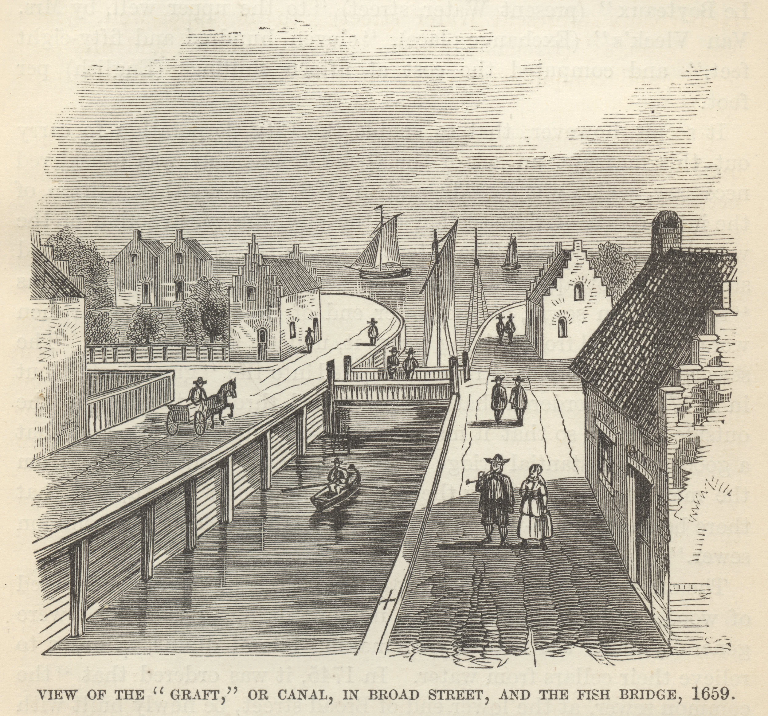
The illustration at left shows the view along the Heere Gracht, or Great Canal, toward the East River. At right is the same view today from the corner of Stone Street. The canal, long since filled in, is now Broad Street, but the street that once crossed the wooden bridge seen on the left is still known as Bridge Street.
Fort Amsterdam, seen in this detail from the redraft of the Castello Plan, stood in Lower Manhattan from 1625 to 1790. Today the Alexander Hamilton U.S. Custom House is located on the site, at 1 Bowling Green.


